Latest Industry News

New House Developments on hold because of flooding
There has been a complete building standstill in many regions of the UK caused by the unusual amount of wet weather at the start of 2026.
Read Article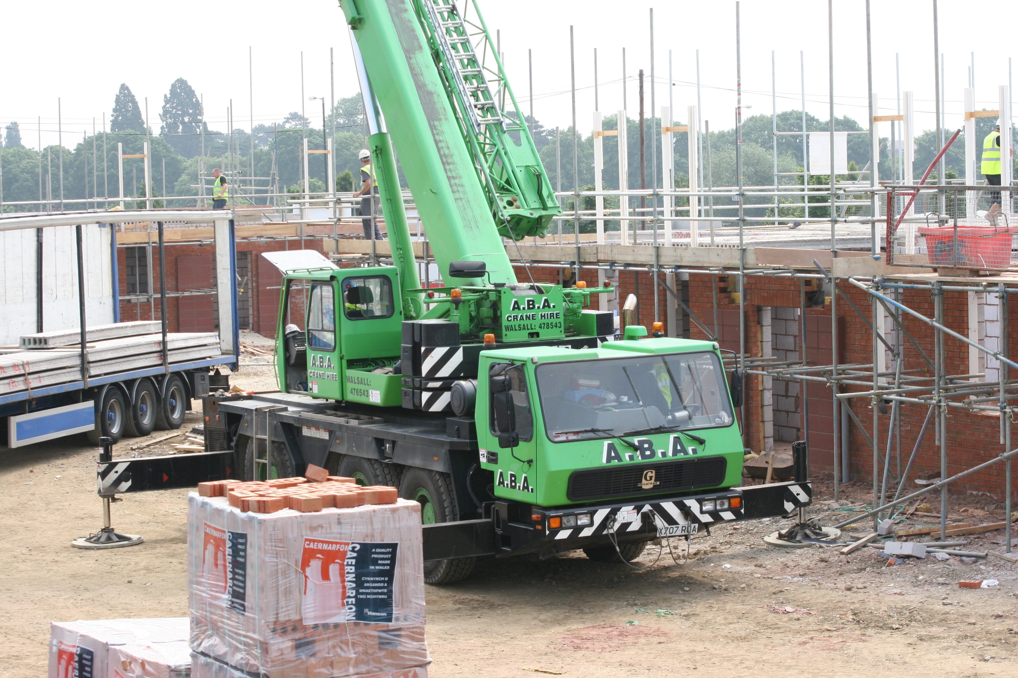
Suppliers forced to take more aggressive action on unpaid bills
The country’s top 20 largest builders’ merchants are turning to last resort measures to force struggling customers to settle unpaid bills.
Read Article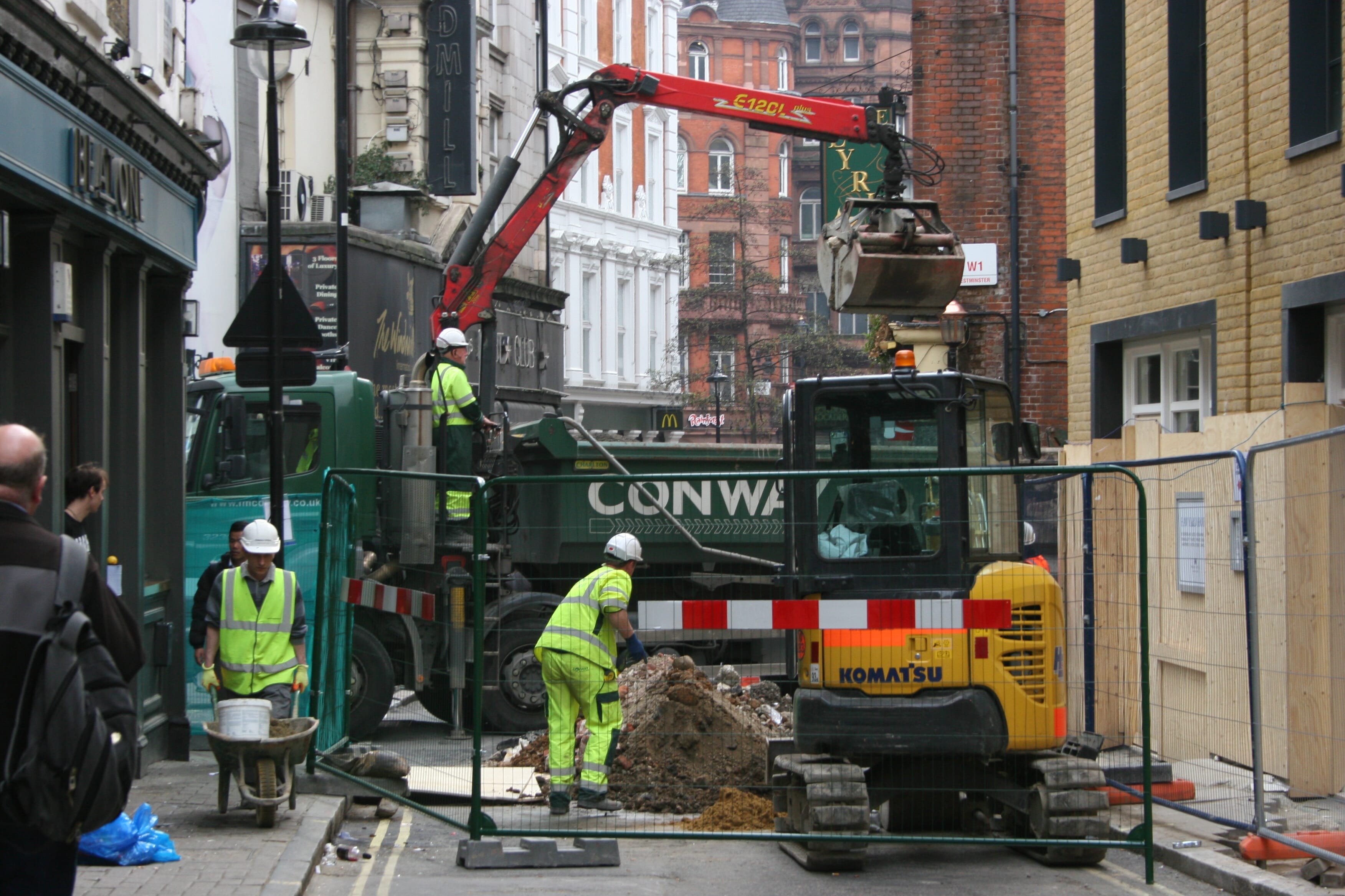
Safe Dig – regional digital underground utility maps issued
The release of the first ‘safe dig’ digital underground asset maps for North East England, Wales and London with the goal of ridding …
Read Article
Structural steel and rebar prices fall sharply
Steel prices are beginning to fall back strongly after suffering the fastest inflation of all construction materials in the past two years.
Read Article
Plans in for two Derby city centre schemes of 1300 homes
Plans have been submitted for a pair of mixed-use schemes in Derby to deliver around 1,300 homes and 300,000 sq ft of commercial space around the Derbion…
Read Article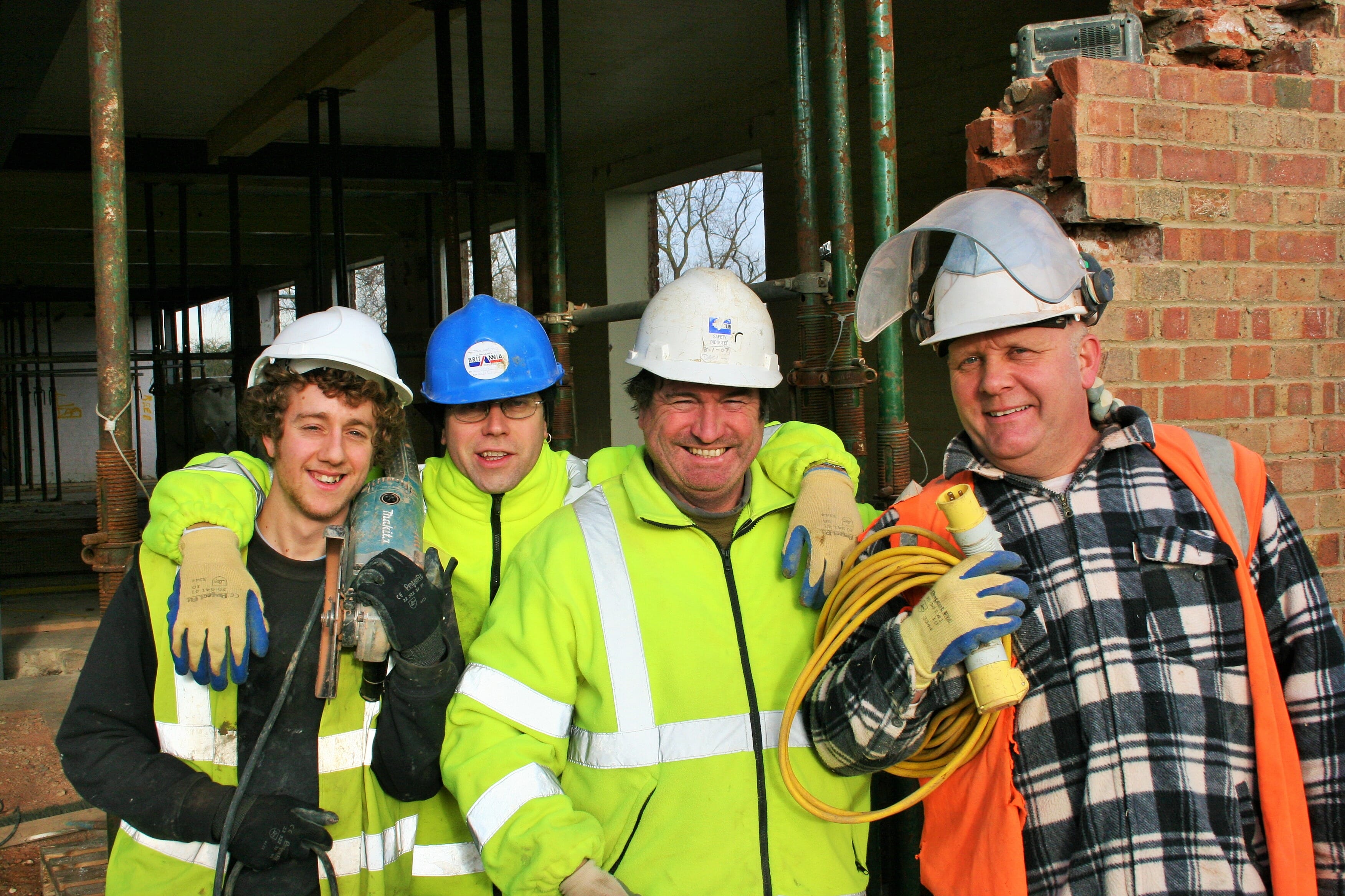
Chigwell Construction 62-homes scheme approved
Chigwell Construction has secured planning for the Essex builder’s largest housing development to date.
Read Article
Aston Villa £100m stadium expansion approved
Birmingham City Council has granted planning permission for phase one of Aston Villa FC’s redevelopment and expansion of Villa Park.
Read Article
Contractors call for ban on indoor use of PIR board
Insulation contractors are calling for an immediate ban on Polyisocyanurate (PIR) based insulation being used in internal applications on safety grounds.
Read Article
Amey Utilities sold and renamed Avove
Private equity investor Rubicon Partners has completed the purchase of Amey Utilities and renamed the operation Avove
Read Article
CSCS has announced the launch of the new virtual CSCS card.
A virtual CSCS card is the same as the plastic card but stored within a smart device, such as a mobile phone, rather than in your wallet or pocket.
Read Article
Graham secures £80m Audley retirement village
Retirement living specialist Audley Group has picked Graham Construction to build an £80m retirement village in Cobham, Surrey.
Read Article
London ‘hanging gardens’ tower gets green light
London planners have resolved to grant planning for a landmark 35-storey tower in the Square Mile featuring a huge green wall.
Read Article